Our Services

Drones make life easy

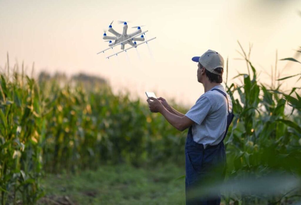
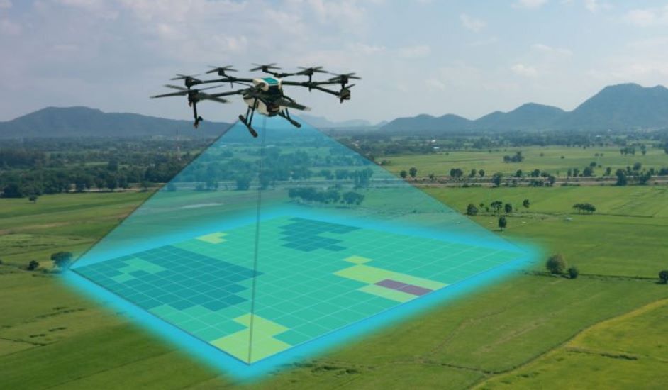
Our team of experts is dedicated to delivering top-notch services, utilizing cutting-edge drone technology and specialized sensors for precise data collection. With us, you’ll have your one-stop solution for comprehensive and tailored insights, empowering you to make informed decisions

aSSET shootING

building4
  • High-Quality Aerial Footage
  • Interior Drone Shots
  • Virtual Tours
  • Twilight Shots
  • Fast Turnaround Time
  • High-Resolution Photography
  • Compliance with Regulations
  • Professional Editing
  • Exceptional Customer Service

any spraying application

Skyforce Service 2
  • Customized Spraying Solutions
  • Precision and Accuracy
  • Safe and Risk mitigation
  • Compliance with Regulations
  • Data Analysis and Mapping
  • Monitoring and Reporting
  • Versatile Applications
  • Cost-Effectiveness
  • Training and Support

Mapping and Surveying

Skyforce Service 9
  • High-Resolution Data
  • Geographic Information System (GIS) Integration
  • Topographic Surveys
  • 3D Modeling and Point Clouds
  • GCPs and RTK GPS
  • Customized Deliverables
  • Regulatory Compliance
  • Expert Analysis and Support

Inspection and Monitoring

Skyforce Service 3
  • Comprehensive Inspection Solutions
  • Advanced Sensors and Equipment
  • Safety and Efficiency
  • Real-time Data and Analysis
  • Preventive Maintenance
  • Data Storage and Reporting
  • Compliance and Regulations

Disaster Assessment and Relief

Skyforce Service 6
  • Rapid deployment
  • Aerial Assessment
  • Damage Evaluation
  • Search and Rescue Support
  • Real-time Data Analysis
  • Disaster Mapping and GIS Integration
  • Logistics Support
  • Environmental Impact Assessment
  • Post-Disaster Recovery Planning

Environmental Monitoring

Skyforce Service 7
  • Customized Monitoring Solutions
  • Advanced Sensor Technology
  • Habitat and Biodiversity Assessment
  • Pollution Detection
  • Deforestation and Land Use Analysis
  • Real-time Monitoring
  • Geographic Information System (GIS) Integration
  • Environmental Impact Assessments
  • Remote and Inaccessible Area Monitoring
  • Data Analysis and Reporting

For anyting specific or customized drone related services