Drones For MAPPING and SURVEYING
Introduction
"Dive into the world of geospatial technology with our 'Drones for Mapping and Surveying' course. Discover how to harness the power of drones to capture accurate data for mapping and surveying purposes. From aerial data capture techniques to cutting-edge technology utilization, our program equips you with the skills and knowledge needed to efficiently and accurately map landscapes, survey construction sites, and more, all while taking advantage of the latest advancements in drone technology.
- BASIC DETAILS
- Days: 4 | Hours: 16 | Online & Offline
- Languages: English, Hindi, Marathi, Gujarati
- INCULSIONS
- Lunch | Snacks
- Subsidised stay arrangements
- LinkedIn shareable certificate (For all the courses)
- SKILLS YOU WILL LEARN
- Understand the different types of multi-rotor drones.
- Understand the roles of propellers, motors, flight controller, ESC in drone flight.
- Understand how to bind a radio receiver and transmitter.
- Understand the use of GPS in drone flight.
- Understand flight terminology.
- Understand the use of LiPo batteries and their use.
- Understand the necessary drone pre-flight checks.
- Uploading the firmware to the flight controller.
- Understand the principles of drone flight.
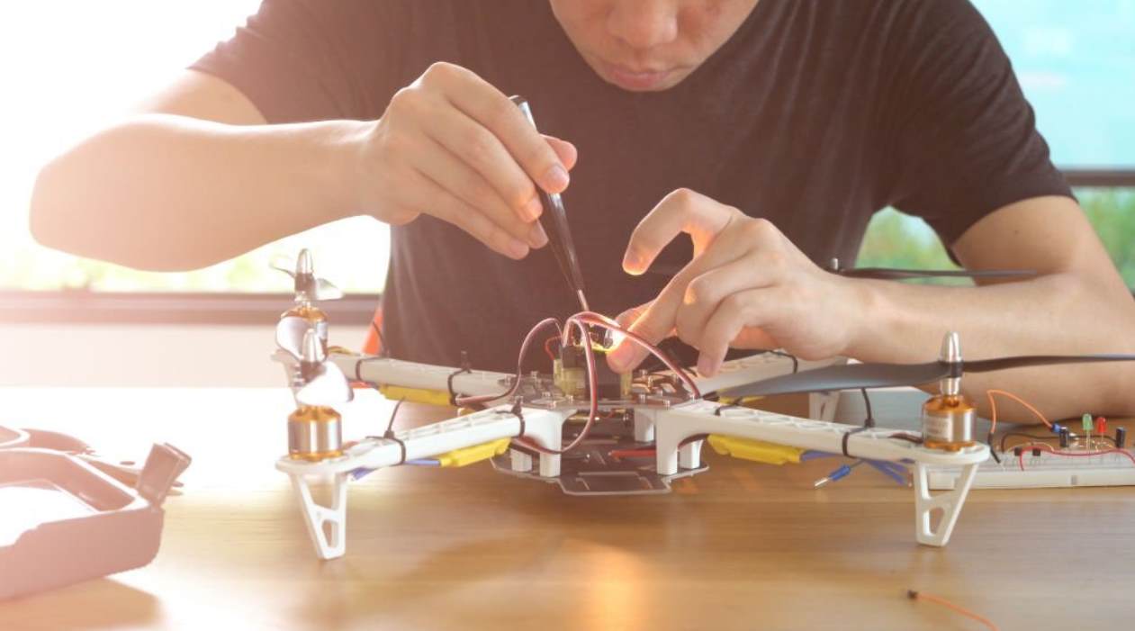
- Assemble a quadcopter from parts available in the market.
- Understand the basic safety and legal requirements.
- Use the open source Mission Planner software to configure a drone.
- FLOW OF THE COURSE
- History of drones
- What are drones, UAV, UAS, RPAS
- Understand the different types of multi-rotor drones
- Understand the different types of fixed wing drones
- Flight physics and meteorology
- Flight Teminologies
- Princlples of drone flight and controls
- Nato phonetic alphabet
- Understand the roles of propellers, motors, flight controller, ESC in drone flight.
- Understand the use of LiPo batteries and their use.
- Installing ground control station
- Mounting the flight controller
- Flight controller wiring connections
- Copter flight modes
- Connect ESCs and motors
- Loading firmware to boards
- Radio control calibration
- Accelerometer calibration
- Compass calibration
- Flight mode configuration
- ESC calibration
Types of Failsafes
- Pre-arm safety checks
- Tips for new pilots
- Pre flight checklist copter
- Arming the motor
- YOUR INSTRUCTORS

Dev Shah
Founder, CEO
A drone designer with a deep understanding of drone ecosystem in India. I’m an alumnus of V.J.T.I. and I hold a Master of Technology degree in Electronics. I’ve been working deeply on drone circuits and structural designs since 6 years.

Shloka Hajare
Head of Operations
An Aerospace Engineer with drone designing experience of 4 years. Having worked as an Operation Manager and Design Engineer. I excel in planning, drafting, documenting strategies, and procedures.